Measurement positioning
May 2, 2023· 2 minutes reading
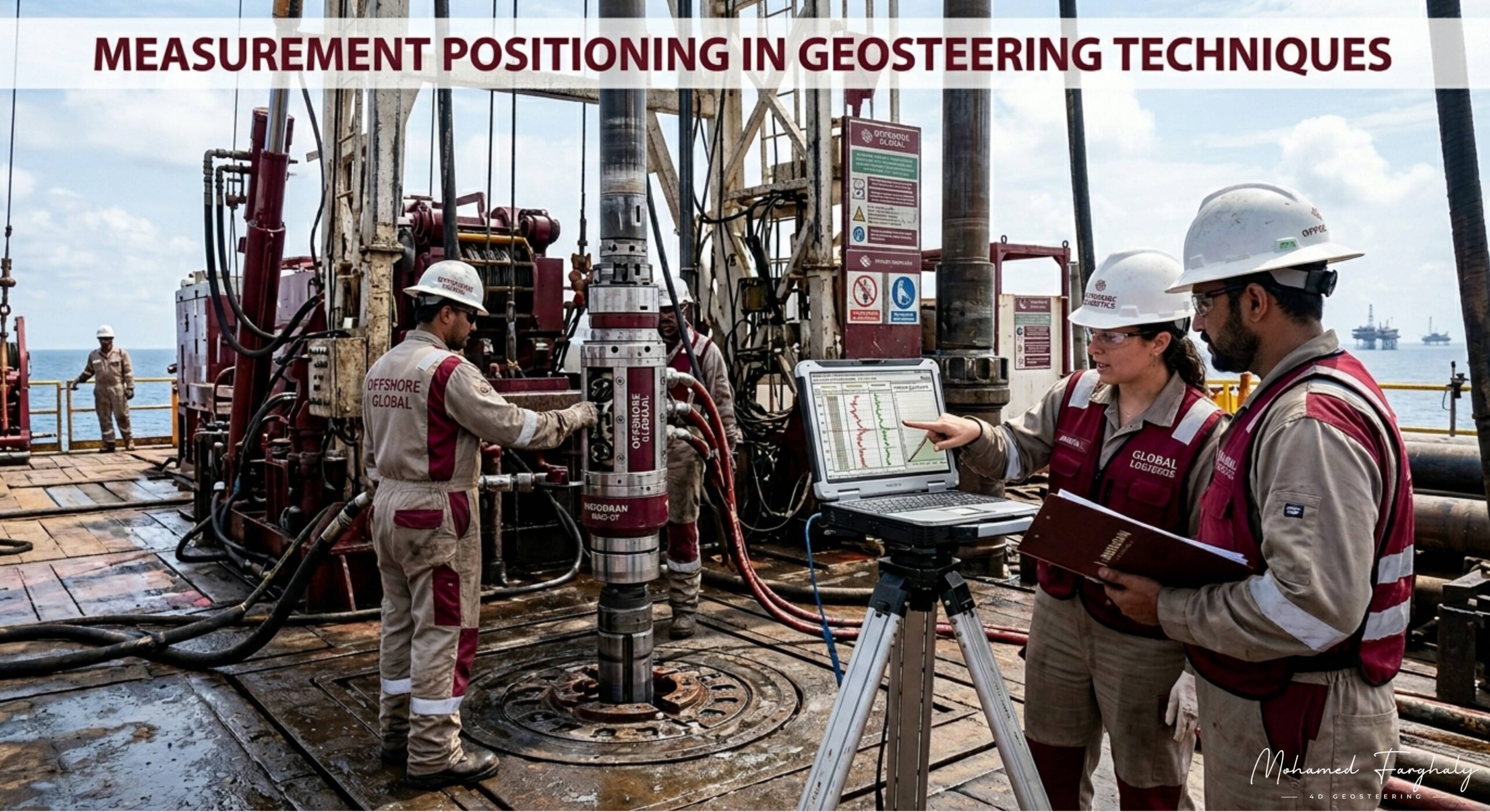
In geosteering, every decision depends on data. But one critical detail is often overlooked by beginners: where that data is actually being measured from. This is the foundation of measurement positioning.
During drilling, measurements are not always taken directly at the drill bit. In many cases, the sensors inside the Bottom Hole Assembly (BHA) are positioned several feet behind the bit. While this may sound like a small technical detail, it can significantly affect how geosteering decisions are made in real time.
When a formation boundary appears on a log, the drilling bit may have already moved beyond that exact point. This creates what geosteering teams call a measurement lag. Understanding this lag is essential because accurate well placement depends on predicting where the bit currently is relative to the reservoir, not only where the sensors recorded the data.
Different Logging While Drilling (LWD) tools have different sensor positions. Gamma ray sensors, resistivity tools, density measurements, and neutron tools may all sit at different distances from the bit. Some tools are positioned very close to the bit for faster geological response, while others are placed farther back due to design limitations or measurement requirements.
This is why geosteering is not simply reading logs on a screen. It requires continuous interpretation of how measurements relate to actual bit position, drilling direction, formation dip, and reservoir geometry.
Measurement positioning becomes even more critical in thin reservoirs and highly complex formations. A delay of only a few feet can mean exiting the target zone before the geosteering team recognizes the change. In horizontal wells, where maintaining precise placement inside the reservoir is critical for production performance, understanding sensor offsets can directly impact drilling success.
Modern geosteering workflows often include software that automatically compensates for sensor positions and calculates true geological placement in real time. However, experienced geosteerers still rely heavily on geological reasoning, structural understanding, and operational awareness to validate what the software predicts.
As real-time operations continue to evolve, measurement positioning remains one of the most important concepts in accurate geosteering. The quality of decisions depends not only on the data itself, but also on understanding exactly where that data comes from relative to the drilling bit.
In geosteering, precision is not just about measurements. It is about positioning those measurements correctly within the subsurface story being drilled minute by minute.
