Correlation between wells
May 18, 2023· 2 minutes reading
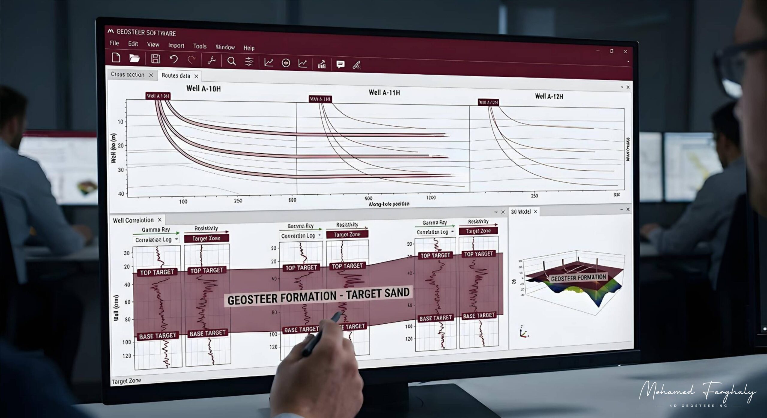
Correlation between wells helps geosteering teams make better drilling decisions by comparing the current well with offset wells across the field. In many cases, the most useful clue for steering a well does not come from the live well alone. Instead, it comes from data collected from nearby wells.
In geosteering, every decision depends on understanding how the subsurface changes from one location to another. Real-time LWD data gives direct information from the current well. However, offset well correlation gives that data geological meaning. As a result, teams can improve well placement, identify reservoir boundaries, and choose better steering actions.
What Is Well Correlation?
Well correlation means matching geological information between different wells. Geologists compare formation tops, gamma-ray patterns, resistivity trends, lithology changes, and reservoir markers.
When these features match across several wells, they show how the reservoir behaves laterally and vertically. For example, the reservoir may become thinner, thicker, deeper, shallower, or displaced by faults. Therefore, correlation helps teams turn separate well logs into one connected geological picture.
Before drilling starts, geoscientists use offset well data to build the first geosteering model. This model helps define expected reservoir depth, formation dip, structural trends, and possible fault zones. Because of this, the drilling team can design a trajectory with a better chance of staying inside the target reservoir.
Using Correlation During Drilling
During drilling, geosteering teams compare real-time LWD measurements with expected responses from nearby wells. If the live data matches the model, confidence in the interpretation increases.
However, differences between the current well and offset wells need careful review. These differences may point to a structural shift, stratigraphic change, fault crossing, or reservoir quality variation. Therefore, correlation supports faster and more accurate steering decisions.
Correlation in Complex Reservoirs
In complex reservoirs, one well alone can give an incomplete picture. A single log response may not show the full geological trend. However, comparing several wells can reveal patterns that one well cannot show.
For example, well-to-well correlation may show gradual thinning in one direction. It may also reveal structural stepping between fault blocks. These insights directly affect landing strategy, hold section planning, and overall well placement.
Modern geosteering models also improve with every drilled well. Each new well adds more information to the correlation framework. As a result, the geological model becomes more accurate over time, and future wells carry less uncertainty.
🔗 Keywords
Well Correlation, Offset Wells, Formation Tops, Gamma Ray Correlation, Resistivity Trends, LWD Data, Structural Dip, Fault Detection, Stratigraphic Variation, Reservoir Modeling, 3D Geosteering Models, Well Placement Optimization, Geological Uncertainty.