Artificial Intelligence in Geosteering
Dec 20, 2023· 2 minutes reading
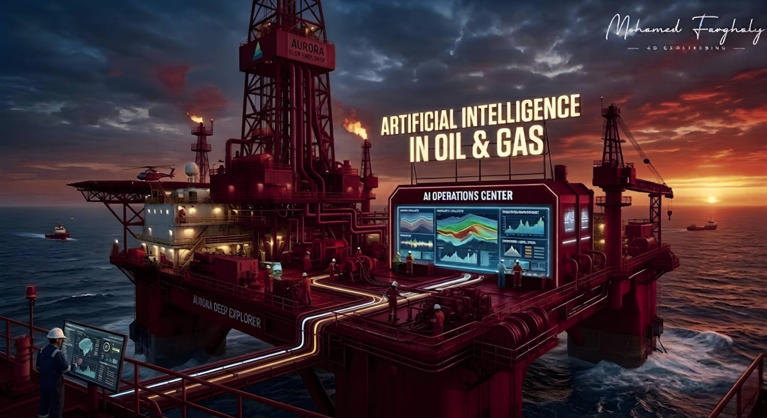
Artificial intelligence in geosteering is changing how drilling teams make real-time decisions. It helps geosteerers analyze live drilling data faster, reduce uncertainty, and improve well placement accuracy in complex reservoirs.
What Is Artificial Intelligence in Geosteering?
Geosteering depends on real-time data from LWD, MWD, mud logging, and surface drilling systems. These data streams help teams understand the formation while drilling continues.
Artificial intelligence supports this process by analyzing large volumes of data quickly. It can identify patterns, detect formation changes, and highlight risks that may affect the well path.
AI does not replace geologists or geosteerers. It supports their work by giving faster interpretation and clearer decision support.
Why AI Matters in Real-Time Drilling
In horizontal wells, small steering decisions can have a major impact. If the well exits the target zone, reservoir contact may decrease. This can affect production and overall drilling success.
Artificial intelligence in geosteering helps teams respond earlier. It can compare real-time measurements with offset wells, geological models, and historical drilling data.
This helps geosteerers understand whether the well is moving toward a reservoir boundary, a shale break, or a better-quality zone.
How AI Improves Well Placement
The main value of AI is prediction. It helps geosteering teams move from reactive decisions to proactive decisions.
AI can support the interpretation of gamma ray, resistivity, density, neutron porosity, and trajectory data. It can also help identify trends that may not be clear from one log alone.
In complex reservoirs, this becomes very important. Thin beds, faults, changing lithology, and structural uncertainty can make manual interpretation difficult. AI helps organize the data and turn it into useful drilling insight.
AI and Human Expertise Work Together
Artificial intelligence works best when geosteerers stay in control of the decision. The software can process data quickly, but human experts understand the drilling objective.
Geosteerers know the reservoir target, operational limits, risk level, and well plan. AI provides support, but the final decision still needs geological and drilling judgment.
This combination creates stronger geosteering decisions. It also improves communication between geologists, drilling engineers, and real-time operation teams.
🔗 Keywords
Drilling Rig, Drilling Mud, MWD, LWD, Directional Drilling, Geosteering, Well Placement, Oil Reservoir, Surface Logging, Borehole Imaging, Electromagnetic Resistivity LWD Tool, Bottom Hole Assembly, Study of Real-Time LWD Data, LWD Interpretation, Borehole Image Log, Dip Calculation Methods, Shale Gas Sweet Spot, Accurate Reservoir Boundary Detection, Machine Learning, Artificial Intelligence, The Future of Automated Geosteering, Ensemble-Based Well Log Interpretation, Digital Twins in Drilling, Remote Operations Centers
