LWD Interpretation
Sept 5, 2023 · 2 minutes reading
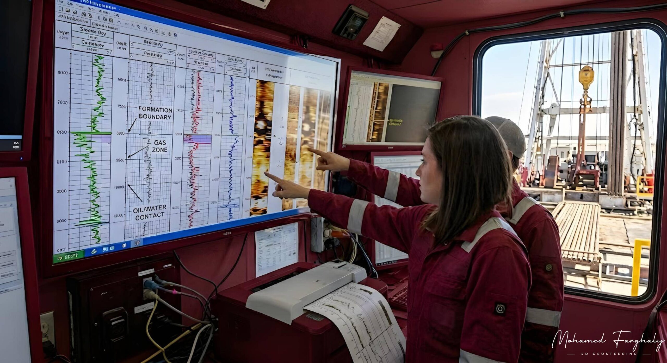
Logging While Drilling (LWD) tools collect valuable formation data in real time. However, successful geosteering depends on more than advanced technology. It depends on accurate LWD interpretation.
By interpreting downhole measurements correctly, geosteering teams can understand formation changes, identify reservoir boundaries, and keep the wellbore within the most productive target zone.
What Is LWD Interpretation?
LWD interpretation is the process of analyzing formation measurements collected while drilling. Common LWD measurements include:
- Gamma ray
- Resistivity
- Density
- Neutron porosity
- Formation pressure
- Borehole images
These measurements help geologists identify lithology, estimate fluid content, evaluate reservoir quality, and detect formation boundaries.
Why Is LWD Interpretation Important in Geosteering?
In directional and horizontal drilling, the wellbore may pass close to the top or base of a reservoir. Even a small interpretation error can move the well outside the target zone and reduce reservoir exposure.
Accurate real-time LWD interpretation helps geosteering teams:
- Detect geological changes near the drill bit
- Correlate the active well with offset wells
- Identify potential hydrocarbon-bearing zones
- Recognize reservoir boundaries and fluid contacts
- Adjust the well trajectory at the right time
- Improve well placement and reservoir contact
This allows the team to respond before the well moves too far from the planned interval.
Combining LWD and MWD Data
LWD and Measurement While Drilling (MWD) perform different but complementary roles.
MWD data describes the well’s position and direction through measurements such as inclination, azimuth, and toolface. LWD data provides information about the surrounding rocks and fluids.
Together, LWD and MWD allow geosteering engineers to understand both where the well is and what formation it is drilling through.
From Real-Time Data to Steering Decisions
Strong LWD interpretation requires more than reading individual curves. Geosteerers must compare multiple measurements, recognize changing log patterns, and consider geological uncertainty.
For example, a change in gamma ray may indicate a lithology boundary. A resistivity response could suggest a fluid change or hydrocarbon-bearing interval. Density and neutron logs can provide additional evidence about porosity and formation quality.
Combining these measurements creates a more reliable geological interpretation than relying on one curve alone.
🔗 Keywords
Drilling Rig, Drilling Mud, MWD, LWD, Directional Drilling, Geosteering, Well Placement, Oil Reservoir, Surface Logging, Borehole Imaging, Electromagnetic Resistivity LWD Tool, Bottom Hole Assembly, Study of Real-Time LWD Data, LWD Interpretation, Borehole Image Log, Dip Calculation Methods, Shale Gas Sweet Spot, Accurate Reservoir Boundary Detection, Machine Learning, Artificial Intelligence, The Future of Automated Geosteering, Ensemble-Based Well Log Interpretation, Digital Twins in Drilling, Remote Operations Centers