Study of Real-Time LWD Data
July 1, 2024· 2 minutes reading
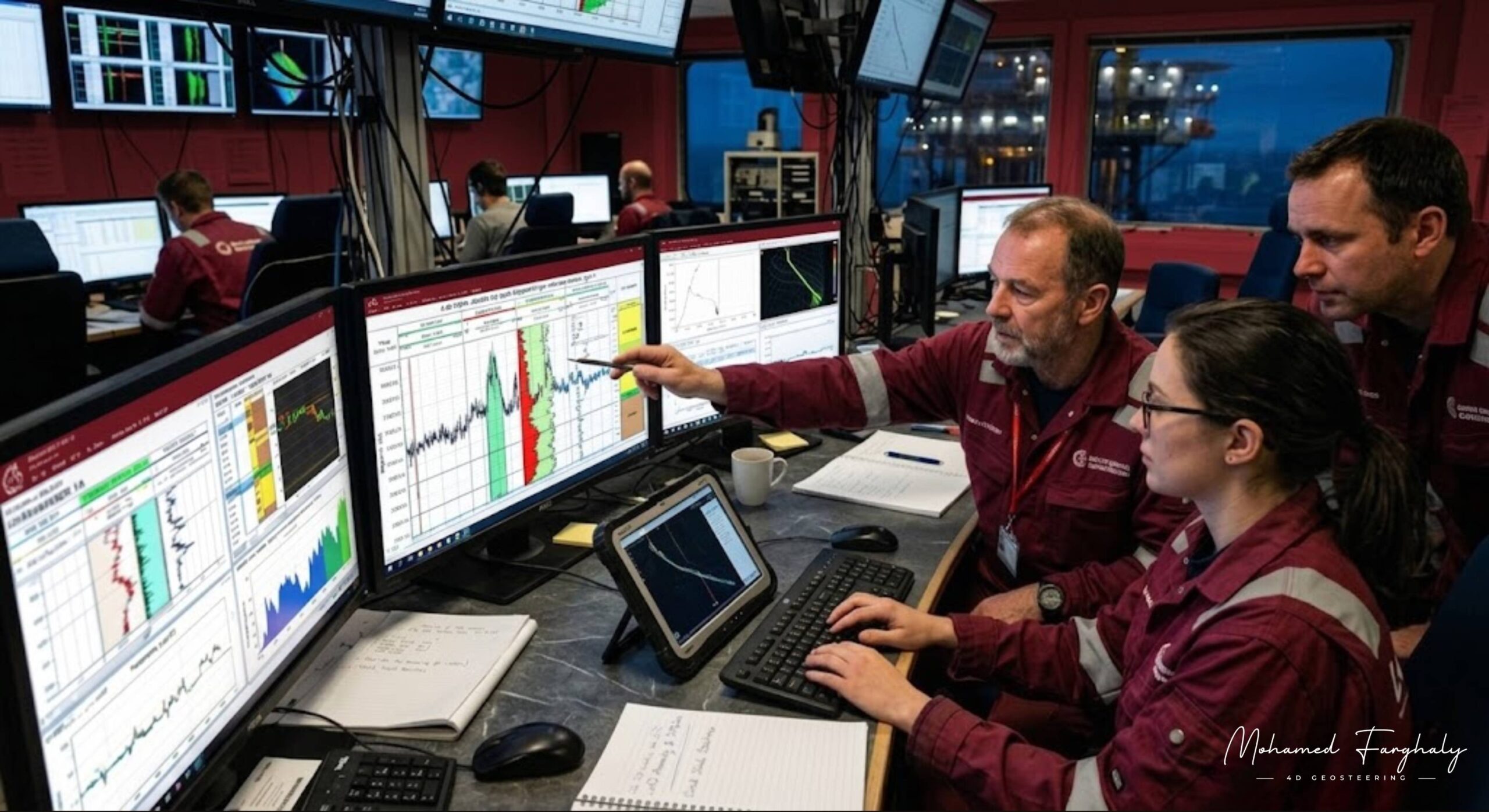
Real-time LWD data is one of the most important foundations of modern geosteering. It gives geologists and drilling teams live formation measurements while the well is being drilled. This allows them to understand the subsurface, react quickly, and keep the well inside the target reservoir.
In geosteering, every decision depends on reliable data. Logging While Drilling, or LWD, provides key measurements such as gamma ray, resistivity, density, neutron porosity, and other formation evaluation readings. These measurements help identify lithology changes, reservoir quality, fluid contacts, and formation boundaries.
Why Real-Time LWD Data Matters
The main value of real-time LWD data is not only the measurement itself. The real value comes from interpretation. Geosteerers study the data trends and compare them with the planned geological model. This helps them decide whether the well should hold trajectory, build angle, drop angle, or adjust direction.
Without real-time LWD interpretation, geosteering becomes slower and less accurate. The drilling team may not recognize that the well is approaching a boundary until it is too late. In thin reservoirs, even a small delay can move the well outside the productive zone.
LWD Data and Reservoir Boundaries
Real-time LWD data helps detect important geological changes while drilling. A sudden gamma ray change may show a shift from clean reservoir sand to shale. A resistivity change may indicate a fluid contact or a change in hydrocarbon saturation. Density and neutron responses can help confirm porosity and formation quality.
By studying these responses together, geosteerers can understand where the well is inside the reservoir. This supports better well placement and improves reservoir contact.
LWD and MWD Working Together
LWD data becomes even more powerful when combined with MWD data. MWD shows the well trajectory, inclination, azimuth, and toolface direction. LWD shows the formation response around the wellbore.
Together, MWD and LWD create a complete geosteering picture. One tells the team where the well is going. The other tells the team what formation the well is drilling through.
Better Decisions While Drilling
The study of real-time LWD data helps reduce uncertainty in geosteering. It allows teams to update the geological model, identify unexpected formation changes, and make faster decisions.
This is especially important in horizontal wells, where the goal is to stay inside the best reservoir interval for as long as possible. Strong LWD interpretation can improve well placement, increase reservoir exposure, and support better production results.
For anyone learning geosteering, real-time LWD data is one of the first topics to master. It is where drilling measurements become geological understanding, and geological understanding becomes accurate geosteering decisions.
🔗 Keywords
Drilling Rig, Drilling Mud, MWD, LWD, Directional Drilling, Geosteering, Well Placement, Oil Reservoir, Surface Logging, Borehole Imaging, Electromagnetic Resistivity LWD Tool, Bottom Hole Assembly, Study of Real-Time LWD Data, LWD Interpretation, Borehole Image Log, Dip Calculation Methods, Shale Gas Sweet Spot, Accurate Reservoir Boundary Detection, Machine Learning, Artificial Intelligence, The Future of Automated Geosteering, Ensemble-Based Well Log Interpretation, Digital Twins in Drilling, Remote Operations Centers