Field Applications in Geosteering
June 5, 2023· 2 minutes reading
In the modern oil and gas industry, the difference between a high-performing well and a costly dry hole often comes down to the precision of the borehole placement. While directional drilling provides the mechanical ability to steer a well, geosteering is the strategic “compass” that ensures we are steering toward the right geological targets.
For reservoir engineers, geologists, and drilling teams, geosteering has shifted from a post-analysis exercise to a real-time, mission-critical operational requirement.
Beyond the Geometry: The Shift to Geological Navigation
Conventional directional drilling relies on a predefined 3D geometric plan—a set of coordinates to follow blindly. However, subsurface geology is rarely uniform. Factors like unexpected faulting, stratigraphic dip changes, or unforeseen facies transitions can render a static plan obsolete.
Geosteering is the process of adjusting the wellbore trajectory in real-time based on downhole geological measurements. Instead of following a rigid line in space, the objective is to stay within the “sweet spot” of the hydrocarbon-bearing reservoir.
Key Components of a Successful Geosteering Operation
A robust geosteering workflow integrates three critical elements:
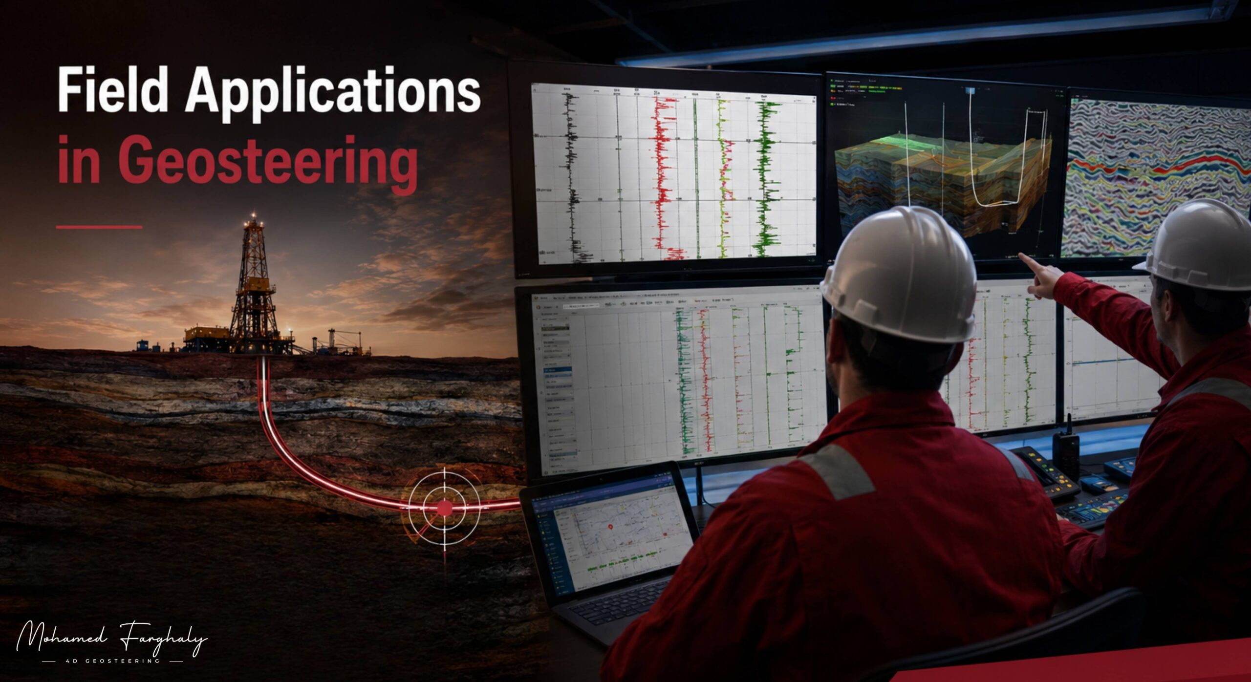
- Real-Time Data Streaming: Using MWD (Measurement While Drilling) for directional data (inclination/azimuth) and LWD (Logging While Drilling) for petrophysical data (gamma ray, resistivity, density, and imaging).
- Continuous Interpretation: The geological team must continuously correlate real-time logs against offset well data and regional geological models.
- Specialized Software: Advanced visualization tools allow for forward-modeling and projection, enabling teams to anticipate target exits before they happen.
Field Applications: When and Why We Geosteer
Geosteering is not just for expensive deep-water projects; it is a fundamental tool for maximizing Return on Investment (ROI) in diverse field environments:
- Maximizing Pay-Zone Exposure: In thin-layered reservoirs, geosteering ensures the lateral wellbore remains in the most porous and permeable sections, directly increasing production per foot.
- Navigating Complex Fault Blocks: When a well crosses a fault, lithology can change abruptly. Real-time imaging helps the team identify the fault’s throw and adjust the trajectory to re-enter the target zone.
- Mitigating Hazards (Water/Gas Coning): In mature reservoirs, staying a precise distance above the oil-water contact or below the gas-oil contact is vital. Geosteering prevents premature water or gas breakthrough, extending the economic life of the well.
- Sidetracking and Remediation: When a wellbore deviates from the target, geosteering provides the data required to perform efficient sidetracks, minimizing non-productive time (NPT) and cost.
The Operational Reality
Field-based geosteering requires a high level of synergy. The Directional Driller (DD) manages the Bottom Hole Assembly (BHA) and mechanical steering, while the Wellsite Geologist interprets the LWD data. This collaboration transforms raw sensor data into actionable decisions—such as increasing or decreasing build rates—to maintain the well’s stratigraphic position.
🔗 Keywords
Drilling Rig, Drilling Mud, MWD, LWD, Directional Drilling, Geosteering, Well Placement, Oil Reservoir, Surface Logging, Borehole Imaging, Electromagnetic Resistivity LWD Tool, Bottom Hole Assembly, Study of Real-Time LWD Data, LWD Interpretation, Borehole Image Log, Dip Calculation Methods, Shale Gas Sweet Spot, Accurate Reservoir Boundary Detection, Machine Learning, Artificial Intelligence, The Future of Automated Geosteering, Ensemble-Based Well Log Interpretation, Digital Twins in Drilling, Remote Operations Centers
