Measurement While Drilling (MWD)
Nov 4, 2024 · 2 minutes reading
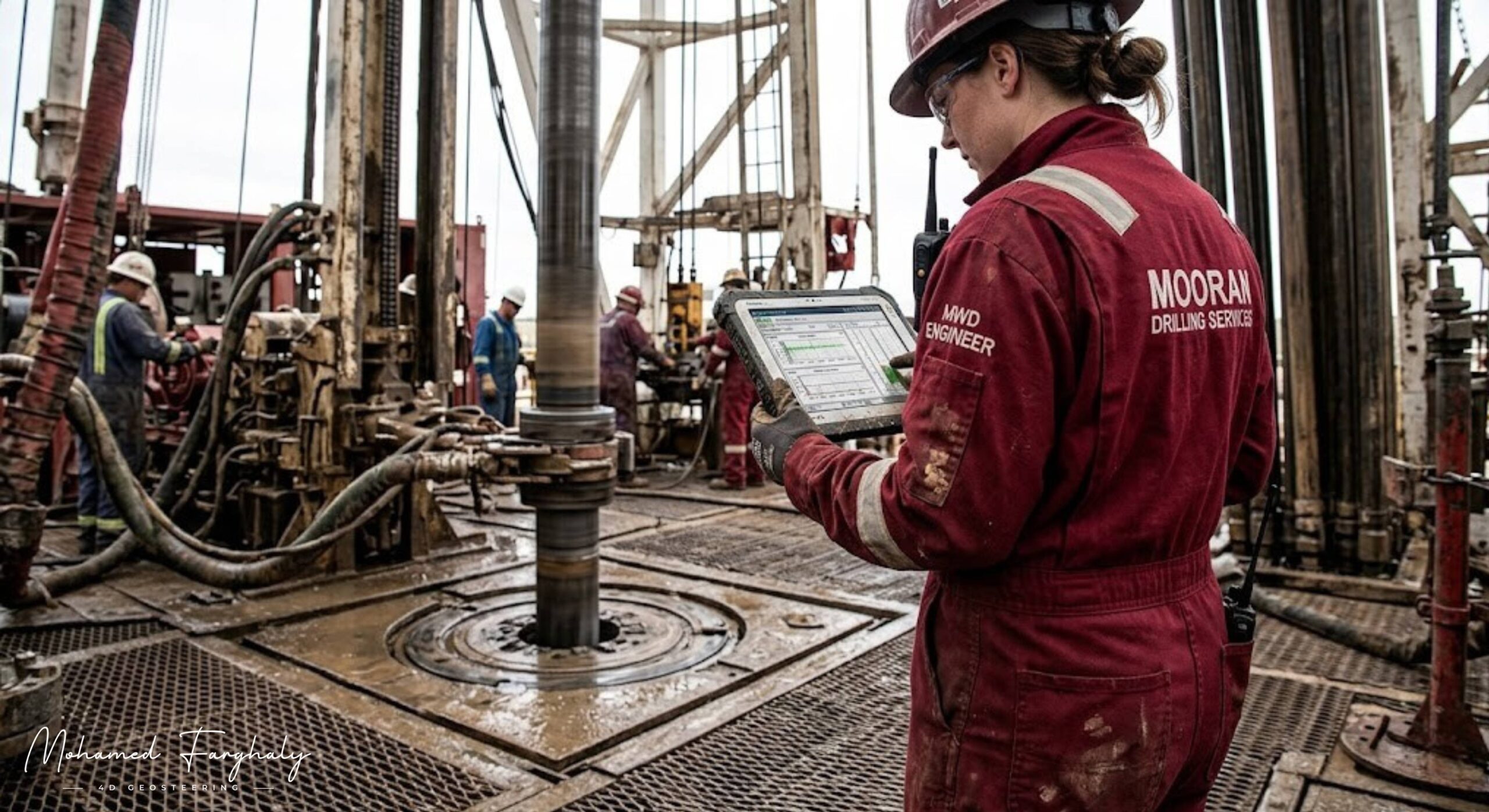
Deep beneath the surface, where direct observation is impossible, every drilling decision depends on one thing—reliable data. This is where MWD becomes essential. Short for Measurement-While-Drilling, MWD provides real-time information about the well’s position and drilling conditions, turning uncertainty into informed action during operations.
At its core, MWD is designed to track the trajectory of the wellbore. By measuring parameters such as inclination, ազimuth, and toolface orientation, it ensures that Directional Drilling stays on the planned path. These measurements are critical for achieving accurate Well Placement, especially in complex reservoirs where even small deviations can lead to missing the target zone.
The MWD system is typically integrated into the Bottom Hole Assembly, close to the drill bit. It uses sensors to collect data and transmits it to the surface through mud pulse telemetry, where pressure signals travel via the circulating Drilling Mud. This continuous data flow allows engineers to monitor drilling performance and make adjustments in real time, rather than waiting until after the well is drilled.
While MWD focuses on wellbore positioning and drilling dynamics, it works closely with LWD, which provides formation evaluation data. Together, they form the backbone of modern Geosteering operations. By combining trajectory data from MWD with formation insights from LWD, teams can guide the well through the most productive parts of the Oil Reservoir with precision.
In addition to directional control, MWD also measures key drilling parameters such as weight on bit, temperature, and vibration. These measurements help optimize drilling efficiency, reduce equipment wear, and prevent potential failures. When integrated with Surface Logging, operators gain a more complete picture of both downhole and surface conditions.
The value of MWD extends even further when combined with advanced technologies. The Study of Real-Time LWD Data, supported by Machine Learning and Artificial Intelligence, allows for faster and more accurate decision-making. In many operations, data is transmitted to Remote Operations Centers, where experts analyze trends and provide guidance. This integration is a key step toward The Future of Automated Geosteering, where systems can respond to data with minimal human intervention.
In today’s drilling environment, MWD is not just a tool—it is a necessity. It provides the directional awareness and real-time insight needed to drill smarter, safer, and more efficiently. Without it, precision drilling would simply not be possible.
🔗 Keywords
Drilling Rig, Drilling Mud, MWD, LWD, Directional Drilling, Geosteering, Well Placement, Oil Reservoir, Surface Logging, Borehole Imaging, Electromagnetic Resistivity LWD Tool, Bottom Hole Assembly, Study of Real-Time LWD Data, LWD Interpretation, Borehole Image Log, Dip Calculation Methods, Shale Gas Sweet Spot, Accurate Reservoir Boundary Detection, Machine Learning, Artificial Intelligence, The Future of Automated Geosteering, Ensemble-Based Well Log Interpretation, Digital Twins in Drilling, Remote Operations Centers
