Machine Learning in Geosteering
Dec 14, 2023· 2 minutes reading
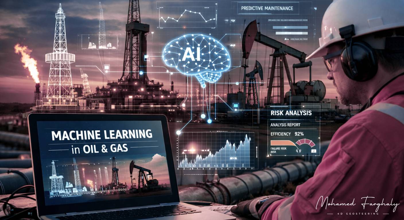
Machine learning in geosteering helps drilling teams use real-time data to make faster and more accurate well placement decisions. As wells become more complex, geosteerers need better tools to interpret LWD, MWD, trajectory, and surface data while drilling.
In modern drilling operations, every well generates a large amount of information. This includes gamma ray, resistivity, density, neutron, inclination, azimuth, and drilling parameters. Data-driven models can analyze these measurements, detect patterns, and support better interpretation.
How Machine Learning Supports Geosteering
Machine learning models can learn from historical wells, real-time logs, and formation responses. They help identify trends that may not be clear from manual analysis alone.
This does not replace the geosteerer. Instead, it adds another layer of support. The geologist still controls the final interpretation, but the model can highlight possible formation changes faster.
Why It Matters in Real Time
Geosteering depends on quick decisions. In thin reservoirs or complex formations, a small delay can move the wellbore outside the target zone.
By studying changes in resistivity, gamma ray, and trajectory behavior, machine learning can help predict possible boundaries before they become obvious. This gives the team more time to adjust the well path.
Better Use of LWD and MWD Data
Real-time LWD and MWD data are essential for accurate steering. These measurements show how the formation and well trajectory are changing while drilling continues.
Machine learning in geosteering becomes more useful when it combines this live data with offset well information and geological models. This helps geosteering teams compare current conditions with expected reservoir behavior.
Reducing Uncertainty
Subsurface uncertainty is one of the biggest challenges in drilling. Formation dip, faults, thickness changes, and unexpected lithology can all affect the final well path.
Data-driven interpretation can reduce this uncertainty by comparing multiple patterns at the same time. It helps geosteerers make more confident decisions in complex reservoirs.
🔗 Keywords
Drilling Rig, Drilling Mud, MWD, LWD, Directional Drilling, Geosteering, Well Placement, Oil Reservoir, Surface Logging, Borehole Imaging, Electromagnetic Resistivity LWD Tool, Bottom Hole Assembly, Study of Real-Time LWD Data, LWD Interpretation, Borehole Image Log, Dip Calculation Methods, Shale Gas Sweet Spot, Accurate Reservoir Boundary Detection, Machine Learning, Artificial Intelligence, The Future of Automated Geosteering, Ensemble-Based Well Log Interpretation, Digital Twins in Drilling, Remote Operations Centers