Geological Uncertainty: Planning for the What Ifs in Drilling
April 11, 2023· 4 minutes reading
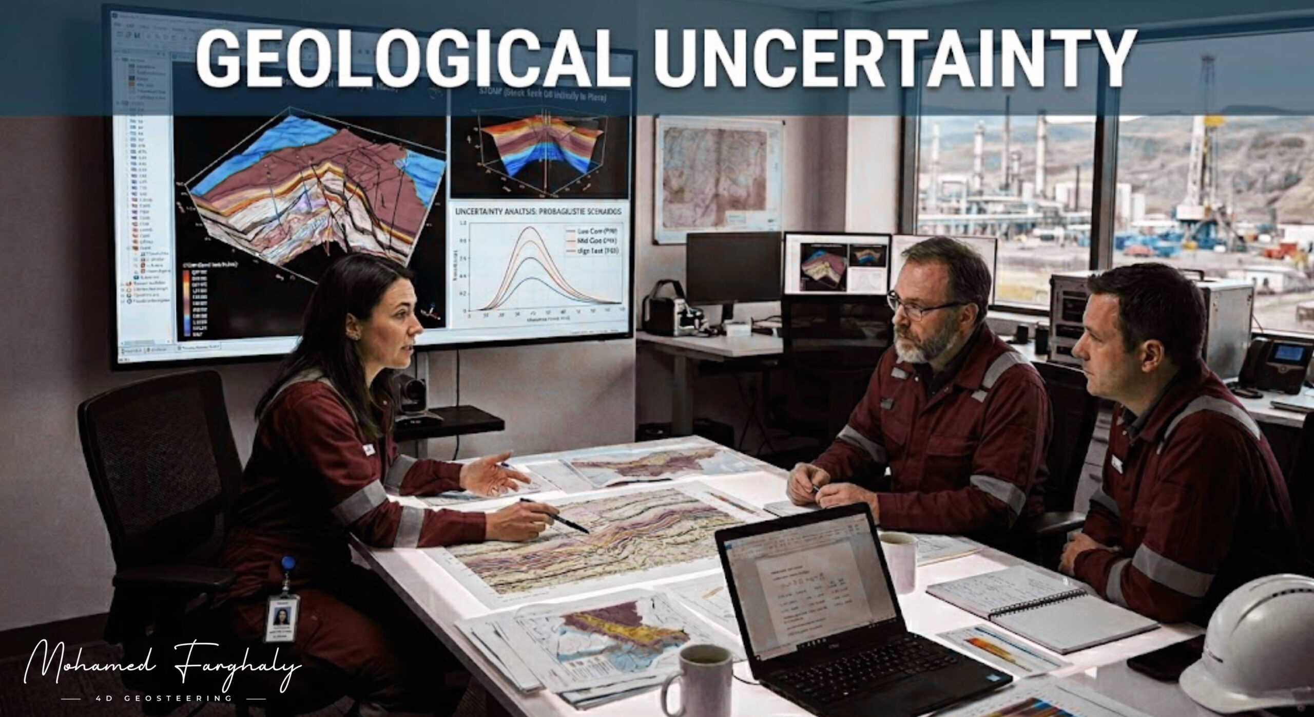
A perfectly planned well can still drift off course within moments. The reason often lies far beneath the surface. In the oil and gas industry, this hidden challenge is known as geological uncertainty. Faults, formation shifts, and unpredictable rock behavior can disrupt carefully designed drilling plans. Managing this is essential for accurate Well Placement and maximizing reservoir productivity.
Pre-Drill Modeling
Before drilling begins, geoscientists build detailed models using seismic data and offset well information to map the Oil Reservoir. These models guide Directional Drilling strategies and define the expected well trajectory. However, the subsurface is complex. Faults may displace formations, reservoir thickness may vary, and lithology can change unexpectedly. Small deviations can push the wellbore out of the target zone, leading to reduced production or costly corrective actions.
Real-Time Execution
To overcome these challenges, modern operations depend on Geosteering. This bridges the gap between pre-drill planning and real-time execution. Instead of strictly following a fixed plan, engineers adjust the trajectory based on live data from downhole tools. Technologies such as MWD and LWD provide continuous measurements of formation properties. This enables the Study of Real-Time LWD Data, allowing teams to detect faults and rock shifts as they happen.
Advanced Evaluation
Advanced tools further enhance this capability. The Electromagnetic Resistivity LWD Tool identifies changes in formation resistivity. Meanwhile, Borehole Imaging technologies provide high-resolution images of the wellbore wall, revealing structural features. Combined with Dip Calculation Methods, these tools allow geoscientists to understand formation orientation and make precise steering decisions.
Managing geological uncertainty also requires operational flexibility. The Bottom Hole Assembly plays a crucial role in responding to unexpected changes. Drilling parameters can be adjusted in real time, while Drilling Mud properties are optimized to maintain wellbore stability. Additionally, Surface Logging provides continuous data about rock cuttings and gas levels.
In complex reservoirs, staying within the optimal production zone demands constant attention. A slight misinterpretation of data can move the well away from the productive interval. This is why integrating multiple data sources and maintaining strong collaboration is critical.
Future Technologies
The industry is rapidly adopting advanced technologies to handle uncertainty. Machine Learning and AI are used to analyze vast datasets and predict geological scenarios. Digital Twins in Drilling create real-time virtual models, allowing teams to simulate outcomes. With the support of Remote Operations Centers, experts can monitor operations globally. These innovations pave the way toward The Future of Automated Geosteering, enhancing accuracy and reducing human error.
Geological uncertainty cannot be eliminated, but it can be managed. The combination of real-time data, advanced tools, and adaptive strategies transforms uncertainty into a controllable factor. Success is defined by how effectively you respond when the plan changes.
🔗 Keywords
Drilling Rig, Drilling Mud, MWD, LWD, Directional Drilling, Geosteering, Well Placement, Oil Reservoir, Surface Logging, Borehole Imaging, Electromagnetic Resistivity LWD Tool, Bottom Hole Assembly, Study of Real-Time LWD Data, LWD Interpretation, Borehole Image Log, Dip Calculation Methods, Shale Gas Sweet Spot, Accurate Reservoir Boundary Detection, Machine Learning, Artificial Intelligence, The Future of Automated Geosteering, Ensemble-Based Well Log Interpretation, Digital Twins in Drilling, Remote Operations Centers
